
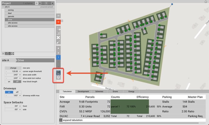
Layers
With the underlay panel, you can toggle:
- Map layer
- Satellite
- Map
- Data layer
- Parcels
- Elevation
- FEMA Flood Zones
- US Fish and Wildlife Wetlands
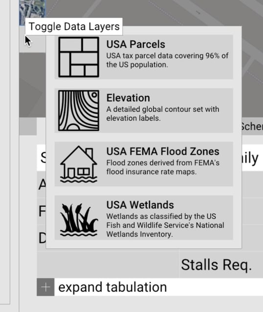
Controlling the display of the data layers
Once any of the data layers are turned on, they'll appear in the Navigation Tree and input panel where you can control their display.